
Fifty-one years ago today, May 15 1974, First National Bank of Atlanta introduced “Tillie the All-Time Teller” ATM system. The architecture involved the integration of the bank’s mainframes, a minicomputer, and the network of ATMs. Why am I noting the 51st anniversary of the public launch of the first Docutel Total-Teller ATM system in the READ MORE
Month: May 2025
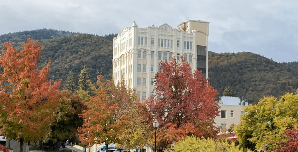
Ashland Oregon’s 2025 Community Wildfire Protection Plan is Approved
The final draft of the City of Ashland Oregon Community Wildfire Protection Plan (CWPP) reflects a citywide commitment to address the escalating threat of wildfire with inclusive planning, science-based strategies, and community-driven solutions. Guided by the Ashland City Council’s 2022 “priorities, vision, and values” statements, this CWPP is a comprehensive wildfire risk reduction blueprint that READ MORE
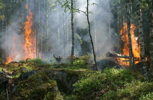
My list of Wildfire, Weather/Wind, Lightning and Air Quality web sites and apps
The following is a list of the web sites, apps and other sources of information that I use on a daily basis to track the status of weather, wind, air quality, lightning and wildfire information. Wildfire InciWeb InciWeb is an interagency all-risk incident information management system. The system was developed with two primary missions: 1) READ MORE
Ashland Oregon Area Live Cameras
There are several live (on YouTube) cameras that I use as part of my situation analysis for what is happening in and around Ashland Oregon. You can click on each link to open a browser tab that contains the live video feed. Ashland City live cameras Other live cameras in the Ashland area Mount Ashland READ MORE