This week I gave a presentation, demo and participated in Live Q&A at the Embarcadero CodeRage 2025 online developer conference. My session showed how to use AI tools including ChatGPT v5, Claude Sonnet v4.5, Gemini v3 to build the project and code for a Multi-Device Solar System Text Adventure game using Embarcadero Delphi 13 and READ MORE
Tag: Android
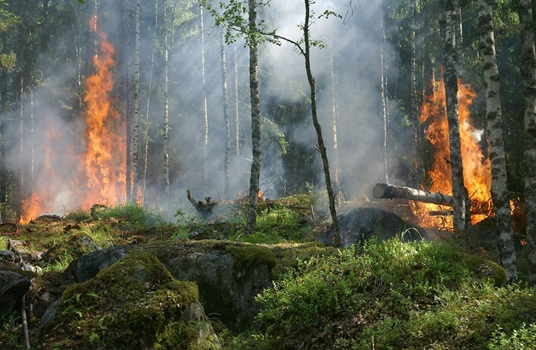
My list of Wildfire, Weather/Wind, Lightning and Air Quality web sites and apps
The following is a list of the web sites, apps and other sources of information that I use on a daily basis to track the status of weather, wind, air quality, lightning and wildfire information. Wildfire InciWeb InciWeb is an interagency all-risk incident information management system. The system was developed with two primary missions: 1) READ MORE