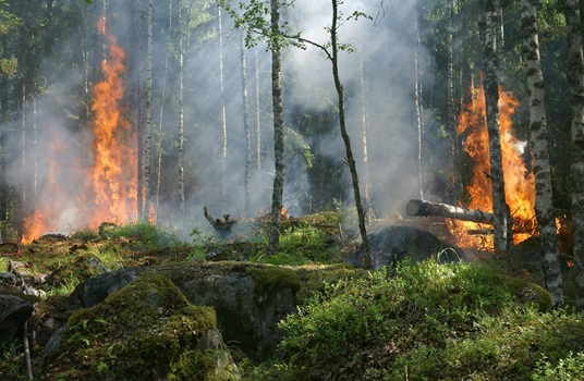
My list of Wildfire, Weather/Wind, Lightning and Air Quality web sites and apps

Wildfire

InciWeb

InciWeb is an interagency all-risk incident information management system. The system was developed with two primary missions: 1) Provide the public a single source of incident related information and 2) Provide a standardized reporting tool for the Public Affairs community.

Web: https://inciweb.wildfire.gov/


NASA / USFS Fire Information for US/Canada (FIRMS)

Watch Duty

Stay Safe From Wildfires When Seconds Count. Watch Duty, a 501(c)(3) nonprofit, alerts you of nearby wildfires and firefighting efforts in real-time.

Frontline Wildfire Tracker

FireSource app

PulsePoint

PulsePoint is a public 501(c)(3) non-profit foundation building applications that help public safety agencies inform and engage their citizens.

PulsePoint Respond – 911-connected app that can immediately inform you of emergencies occurring in your community and can request your help when CPR is needed nearby. PulsePoint Respond is not available in all areas. The service is only offered where adopted by the local public safety agency. Note: can be used to track house fires and vegetation fires.

PulsePoint AEDpowerful tool to build, manage and mobilize an emergency AED registry. Registered AEDs are accessible to emergency call takers and disclosed to those nearby during cardiac arrest events.

Weather/Wind

National Weather Service (NOAA)

Weather Underground

Weather Underground Ashland personal weather stations:

OpenWeather Map (for Ashland)

Windy

Lightning

My Lightning Tracker & Alerts

LightningMaps.org

A community project with free lightning maps and apps

NASA Lightning Viewer

Air Quality

AirNow.Gov

Air Quality Worldwide maps

Local Haze smoke app

Purple Air map